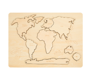
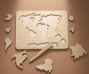
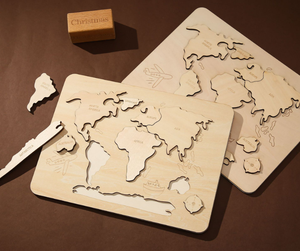
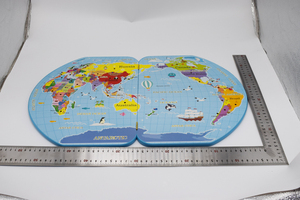
Introduction to the World Study Map
A world study map is an essential educational tool designed to enhance geographic knowledge and awareness of global locations. These maps serve as a visual representation of the Earth’s surface, offering an engaging way for students, teachers, and geography enthusiasts to explore countries, continents, and various geographical features. Whether used in a classroom setting or as part of a home study area, a world study map facilitates learning by presenting data in an accessible and visually appealing manner. With a multitude of applications, the world study map stands out as a key resource for individuals seeking to deepen their understanding of world geography.
Types of World Study Maps
World study maps come in diverse formats and styles, each catering to different educational needs and preferences:
- Political World Maps: Highlight the borders, capitals, and major cities of countries, making them ideal for learning about political geography.
- Physical World Maps: Focus on natural landscapes, including mountains, rivers, and valleys, providing insights into the Earth’s topography.
- Climate Maps: Detail climate zones around the globe, showing temperature ranges and precipitation levels, perfect for environmental studies.
- Population Density Maps: Illustrate patterns of human settlement, indicating where populations are concentrated, useful for demographic research.
- Thematic Maps: Offer specialized information such as economic data, historical events, or cultural aspects, suited for advanced studies.
Functions and Features of the World Study Map
The functions and features of a world study map are what make it such a valuable resource in educational contexts:
- Visual Learning: Maps provide a visual context that complements textual information, aiding in memory retention and comprehension.
- Interactive Elements: Many modern world study maps come with digital features, allowing users to interact with layers of information, enhancing engagement.
- Wide Range of Information: From physical terrains to socio-economic data, maps encompass a broad spectrum of facts for comprehensive learning experiences.
- Multi-purpose Use: Ideal for various educational settings, including geography classes, travel planning, and even international business ventures.
- Decorative Aesthetics: A beautifully designed world study map can serve as an attractive wall décor, inspiring curiosity about global exploration.
Applications of the World Study Map
The world study map serves numerous functions across various fields and scenarios:
- Education: Used in classrooms to teach students about geography, history, and social studies through interactive learning experiences.
- Travel Planning: A valuable tool for travelers seeking to plan their itineraries, understand cultural regions, and navigate unfamiliar terrains.
- Business and Marketing: Essential for businesses engaging in international trade, helping them analyze market trends and demographic distributions.
- Cultural Awareness: Enhances understanding of global cultures and practices, making it a key resource for cultural studies programs.
- Environmental Studies: Assists researchers in visualizing geographic data pertinent to conservation efforts and climate change education.


 Ready to Ship