All categories
Featured selections
Trade Assurance
Buyer Central
Help Center
Get the app
Become a supplier
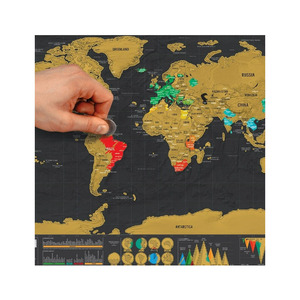
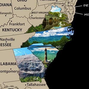
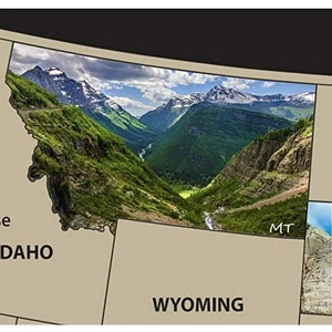
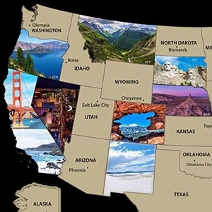
Scratch off
Map
of
United
States
US National Parks Scratch off
Map
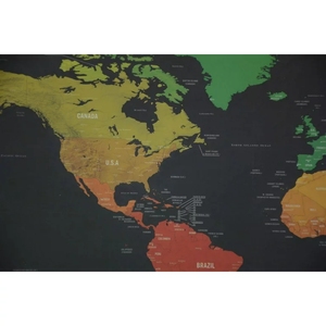
Scratch off
Map
Wall Poster
$
0
.60 -
0
.90
Min. Order: 300 sets
Alibaba
School & Office Supplies
Map
Map united states china
(117036 products available)
Previous slide
Next slide
Scratch off
Map
of
United
States
US National Parks Scratch off
Map
Scratch off
Map
Wall Poster
$0.60-0.90
Min. Order: 300 sets
Previous slide
Next slide
Ready To Ship 100% Cotton 3x5ft Stock US
United
States
America USA American Flag
$1.80
Min. Order: 1 piece
Previous slide
Next slide
360 Degree Large Touch Screen Immersive Interactive Wall/floor Laser Projection
Mapping
Immersive Interactive Project Solutions
$2,150-2,500
Min. Order: 1 set
Previous slide
Next slide
High Quality Customized Cheap Country National US World America Flag,
United
States
Flag,country Flags Sale
$0.80-1
Min. Order: 1 piece
Previous slide
Next slide
Customizable Full-Color World
Map
RGB Desk Mouse Pad High Quality Non-Slip Nature Rubber 3mm Thickness Machine-Washable Design
$3.85-4.85
Min. Order: 100 pieces
Previous slide
Next slide
Manufacturer Stainless Steel Enameled
United
States
of America
Map
Charm Necklace 18K Gold Plated Enamel Flag Pendant Necklace
Ready to Ship
$1.53
Shipping per piece: $6.22
Min. Order: 5 pieces
Previous slide
Next slide
Manufacturer Stainless Steel Enameled
United
States
of America
Map
Charm Necklace 18K Gold Plated Enamel Flag Pendant Necklace
Ready to Ship
$1.20-1.80
Min. Order: 12 pieces
Previous slide
Next slide
Kentucky
State
Necklace
United
States
Map
Pendant Stainless Steel Necklaces Collares for Women Jewelry Accessories
Ready to Ship
$0.80-1
Min. Order: 10 pieces
1
2
3
4
5
More pages
100
Top categories
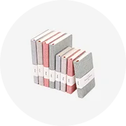
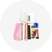
Notebooks & Writing Pads
Commercial Office Supplies
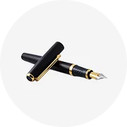
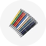
Pens
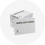
Office Paper
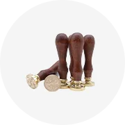
Stamps
Stationery Set
Correction Supplies
Printer Supplies
Pencils
Pencil Cases & Bags
Office Adhesives & Tapes
Art Supplies
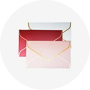
Paper Envelopes
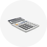
Calculators
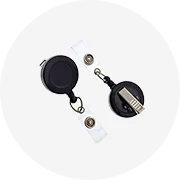
Badge Holder & Accessories
Pencil Sharpeners
Previous slide
Next slide


 Ready to Ship


 Ready to Ship