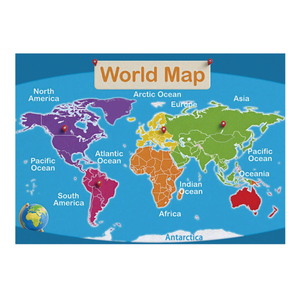
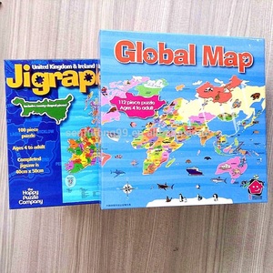
Laminated Map of the United States: An Overview
The laminated map of the United States is a vital tool for anyone needing clear and durable geographical information. These maps are designed to withstand wear and tear, making them ideal for both educational settings and personal use. Whether you’re a student, a tourist, or a professional, a laminated map offers you a comprehensive insight into the geography, culture, and major landmarks of the United States.
Types of Laminated Maps of the United States
Laminated maps of the United States come in various formats to cater to different needs. Here are the most common types:
- Wall Maps: Ideal for display, wall maps provide a large-scale view of the United States, making them excellent for educational institutions and offices.
- Travel Maps: These compact maps are perfect for tourists and adventurers who wish to explore various states and cities.
- Topographic Maps: Focused on elevation and landforms, these maps are crucial for outdoor enthusiasts, hikers, and geographers.
- Political Maps: Highlighting state boundaries and capitals, political maps are essential for understanding governance and electoral processes.
Applications of Laminated Maps of the United States
Laminated maps of the United States are not just decorative pieces; they have practical applications including:
- Educational Use: Teachers and students use these maps as learning aids in geography classes, enhancing visual understanding of the US landscape.
- Travel Planning: Travelers utilize laminated maps to plot routes, identify destinations, and uncover hidden gems across America.
- Business and Logistics: Professionals in the logistics sector rely on detailed maps to plan delivery routes and understand regional distribution networks.
- Real Estate: Property developers and realtors use these maps to showcase locations, zoning, and neighborhood demographics, aiding buyers in making informed decisions.
Features and Advantages of Laminated Maps of the United States
Laminated maps of the United States offer an array of features that make them stand out among other mapping options:
- Durability: The lamination process protects the map from moisture, tearing, and fading, ensuring longevity.
- Easy to Clean: A simple wipe with a damp cloth removes smudges or dirt, keeping the map in impeccable condition.
- Vibrant Colors: The lamination enhances the colors, making states, landmarks, and routes easily distinguishable and visually appealing.
- Lightweight and Portable: Laminated maps are easy to carry, making them accessible for outdoor activities or travel planning.
- Interactive Learning: Engaging with a laminated map fosters a tactile learning experience for students, making geographical concepts more relatable.
- Versatility: These maps can be utilized in various scenarios such as classrooms, offices, homes, or on-the-go traveling, showcasing their multifaceted applications.


 Ready to Ship