All categories
Featured selections
Trade Assurance
Buyer Central
Help Center
Get the app
Become a supplier
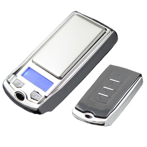
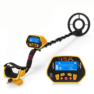
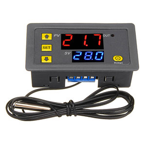
(6 products available)


 Ready to Ship


 Ready to Ship


 Ready to Ship


Suppliers provide industrial buyers with the following types as key options of the distance measuring instrument civil engineering.
Electronic distance measuring instruments (EDMs) utilize electromagnetic waves for measuring distances.
Accuracy and Speed
Measurement results get obtained almost immediately. In addition, measurement errors are pretty minimal, usually within a few millimeters. Results get acquired faster compared to traditional means, benefiting large projects that require speedy and precise data. Occasionally, construction managers measure the work done daily using these instruments.
How EDM Works
The instrument sends a wave, records the time taken for reflection, and integrates this with the propagation speed to compute the distance. This means using a laser beam or infrared light for precise distance calculations.
Use Cases
Surveying and mapping, building and infrastructure construction, real estate and property development, and mining and resource exploration often use EDM.
GPS technology offers a method to locate points on Earth using satellite signals.
Benefits
GPS allows for precise locations over long distances and works well without direct line-of-sight to the points being measured. It provides good efficiency in measuring vast terrains where conventional methods fall short. This advantage equally serves expansive infrastructure projects.
Functionality
Measuring the time taken by signals from multiple satellites to a receiver computes the location in three-dimensional space. Construction managers track the positioning of work fleets across vast construction sites using this technology.
Applications
GPS is ideal for large-scale civil engineering projects, site surveying for highways and bridges, and land use planning.
Total stations combine angle and distance electronic measurements, offering precise point location capabilities.
Speed and Precision
A total station comprehensively provides angle and distance measurements simultaneously to save time on-site. It significantly reduces the chances of errors because it uses electronic data recording and calculations. These machines measure angles and distances to determine the locations of points on building sites during rapid construction.
Working Mechanism
It measures horizontal and vertical angles using an electronic theodolite while measuring distances with an EDM component. The data is processed to get the coordinates of the surveyed points. Imagine a total station on building columns, and the technician points where they want to measure distance and angle, and the device computes the coordinates of that point.
Application Contexts
Construction project layout and control, topographic and boundary surveying, and infrastructure location and alignment are done with total stations.
As explained earlier, distance measuring tools have three key features: function, feature, and design. Suppliers should note the following specifics.
Speed:
Distance measuring devices get measurements within seconds, allowing quick data gathering on construction sites. For instance, laser distance meters can get readings within a second, proving beneficial for fast work rates in construction or surveying. This is important during layout establishment where speed is critical.
Remote Power:
EDM uses electro waves for long distance, even beyond the eye can see. Like GPS, Total stations provide angle and distance that help calculate unknown points. These are useful features to comprehend when measuring large, open areas where traditional methods might take forever. Imagine measuring a mile-long highway—GPS makes that a simple task!
Portability:
Most devices today contain lightweight structures for easy movement from one site to the other. Wearable rangefinders are also available for hands-free measurements.
Data Connectivity:
Several contemporary instruments also contain Bluetooth, enabling data transfer to smartphones or tablets for easy record keeping and processing. This beats working on paper and gives a faster way to analyze the survey data right in the field.
The design of distance-metric devices matters a lot on how practical and helpful they are for civil engineers.
Compact and Durable:
The latest instruments feature slimmer, harder, and weather-resistant gear, making them good for outdoor construction work. Imagine a total station sitting on a busy construction site while rain clouds pass—it needs to work, and total stations can.
User Interface:
The push-button controls and touchscreens make operations simple in the field. Real-time readings on the display help workers act quickly, whether flagging positions or shooting points.
Optics:
The external lens design ensures that measurements remain proper under varying light conditions and distances. The stronger the optical system, the further the distance instrument works well while remaining accurate.
Distance instruments serve many purposes in civil engineering, with each offering special ways of measuring distances. They include
Before any building commences, massive worksite surveying is conducted to understand its topography and geology.
While designing highways, great attention needs to be paid to accurate distance measurement within the project area.
During building construction, the positioning of different structural components must be accurate. Total stations help transfer design coordinates from drawings to actual construction.
Accurate distance measurements are crucial for bridge construction since accuracy is key when placing supports and even span calculations.
Measures like EDM can be used to monitor construction site movements during significant works such as tunneling or excavation.
When selecting distance measuring instruments, considering specifications ensures one picks the right tool for a particular job.
A1: EDM distance measuring instruments have increased speed and accuracy over traditional measuring tools. In addition, they can measure interior distances by using electric waves through spaces, unlike tape measures that specify distance only outdoors.
A2: Yes, Rangefinders, GPS, total stations, and EDMs can work in most average weathers; they also have covers to prevent rain and dust from affecting them. Harsh conditions like storms can affect one of the satellites, but good weather lets them all work precisely.
A3: Laser rangefinders can measure distances up to a few kilometers, while GPS can measure distances on land, almost any length, like the longest tunnel or bridge. Surveys use GPS for outer work limits.
A4: Many smartphones contain GPS for surveying work on smaller projects, like measuring school grounds or building sites. But dedicated tools like total stations and EDMs do a professional job of larger construction projects.
A5: Maintenance keeps these devices working properly. This keeps them clean and checked to make sure they will give the right distance when measured with them. If they wear or get dirty, they might give wrong distances during important work.